EcoScore is our data-based tool that rates neighborhoods by green space, transit access, walkability, air quality, and more—so families can make smarter, eco-conscious housing choices.
How It Works
We use open data, mapping tools, and community input to score and explain neighborhoods beyond just cost or size.

EcoScore Ratings
| Category | Score (out of 10) | Insights |
|---|---|---|
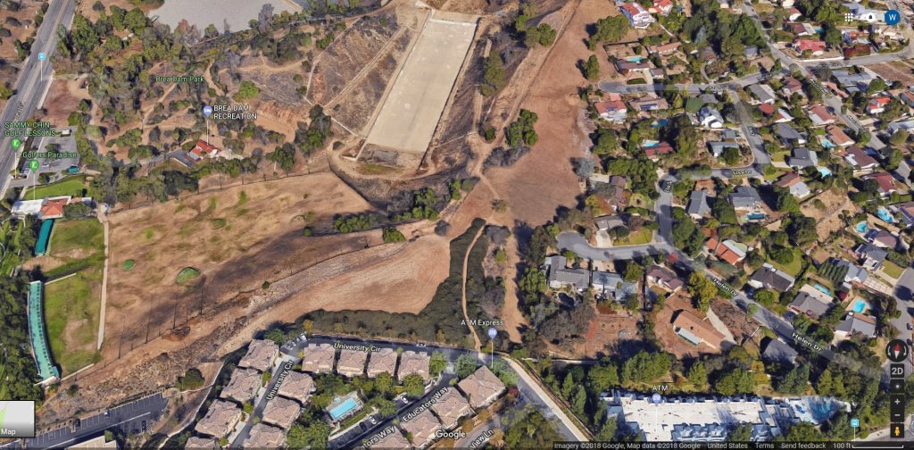
| Green Space | 7/10 | Fullerton has many parks and trails, and about 28 miles of recreational trails spread throughout the city. Also, Hillcrest Park is a prominent 37.8-acre city park that adds to the local green amenities. |
| Walkability | 6/10 | The city average Walk Score is about 54, meaning “somewhat walkable,” so some errands can be done on foot. Some locations are higher, but many parts of the city are less pedestrian-friendly. |
| Transit Access | 5/10 | Fullerton has some public transit options (bus lines, Metrolink station) but many residents rely on cars. For example, a specific location (1261 Deerpark Dr) has a Transit Score of 34. |
| Air Quality | 7/10 | Being inland but close to coastal influence, air quality is generally moderate. No specific AQI data found, but Fullerton benefits from regional air circulation and green spaces. |
| Noise & Light Pollution | 6/10 | Closer to major roads, commercial zones, or rail lines, noise and light pollution increase. Residential neighborhoods away from main corridors are quieter. |
Why It Matters
Fullerton shows that a city can balance both urban and suburban qualities. It offers good green infrastructure and walking/trail networks, but transit and walkability aren’t uniform across the whole city. EcoScore reveals where neighbors might enjoy peaceful pockets, and where they’ll face challenges like car dependency or noise.

Leave a comment